


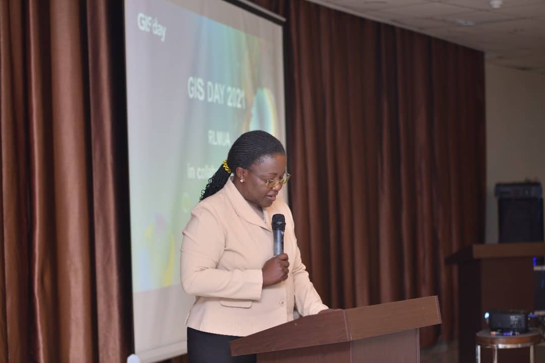
Jeanne d’Arc Mujawamariya, Minister of Environment
Rwanda government has launched the first geo-data management system that will enable and improve monitoring the collection, use and dissemination of geographical data that is associated with a particular location.
The National Spatial Data Infrastructure (NSDI) Hub, aan online platform developed by Rwanda Land Management and Use Authority (RLMUA) was launched this November 17, 2021 by the Minister of ICT and Innovation, Paula Ingabire alongside the Minister of Environment Dr. Jean d’Arc Mujawamariya.
The hub contains mainly harmonized and standardized fundamental geospatial datasets from different institutions.
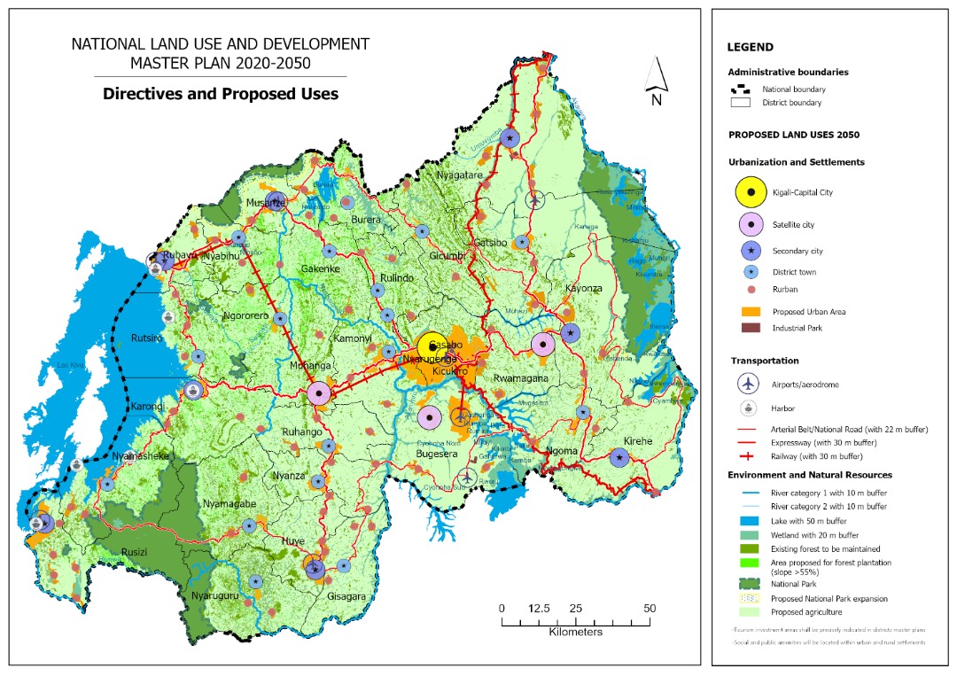
It also hosts the Land-Use and development Master plans at National and Kigali City/District level as well as the recent Topographic and thematic Maps and geo-stories.
Both ministers commended the development saying it will improve access to data in key development aspects of the economy but also inform policy makers in their decision making.
RLMUA Director General, Esperance Mukamana said that the objective of this platform is to eliminate duplication of financial resources in spatial data collection, by availing all the data collected from one institution to be used by others.
RLMUA Director General, Esperance Mukamana
“This will not only save the government resources but will also ensure data standardization and inform timely decision making,” Mukamana said.
Alex Rutagengwa, the RLMUA Head of Land Use Management and Mapping department said that the platform will be beneficial in increasing access to geographic information.
He said that the platform will remain open to more data collection and inputs from other organizations including the private sector.
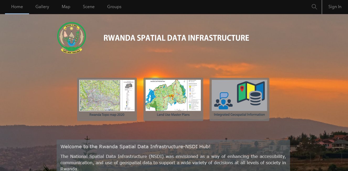
Rwanda Spatial Data Infrastructure
Jean Pierre Gatera, the Managing Director ESRI Rwanda, the technology implementing partner for the NSDI and web GIS project in Rwanda said that the partnership has value to increasing and coordinating geographical data to improve access to geo information at any given location of the country especially that it will be accessible on any internet.

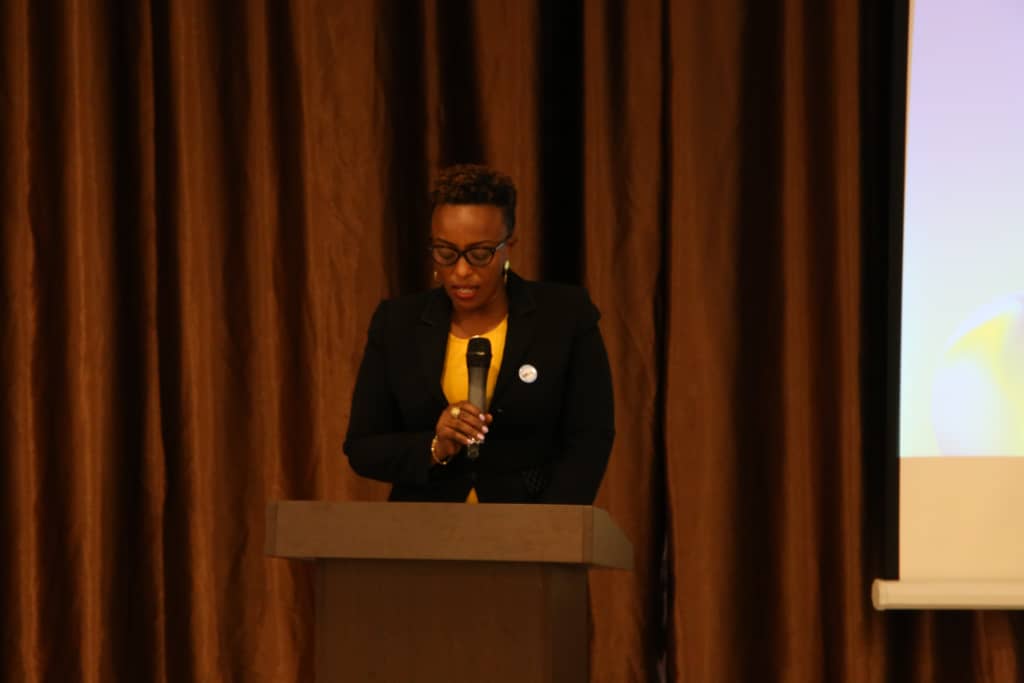
Minister Paula Ingabire
Minister Paula Ingabire said that there is lack of data in the country which makes it hard to have impactful decision making.
“We need to open up this to spur innovation towards development through impactful solutions and innovation. This initiative will enable us to host critical data for development however data protection will be very important especially with the new law on personal data protection,” Ingabire said.
The event coincided with celebrations to mark the international geographic information system (GIS) day in Rwanda in which young innovators also showcased how this data can be used to innovate in health, transportation and insurance among others.
Rwanda Spatial Data Infrastructure is a result of partnerships with public and private institutions involved in geo-data production and use.