


Dr. Kaye says NASA plays a key role in observing the atmosphere to collect vital data which helps countries.
The National Aeronautics and Space Administration (NASA) runs 20 satellites around the world collecting data that is shared globally to monitor the surface, atmosphere, oceans and weather among others.
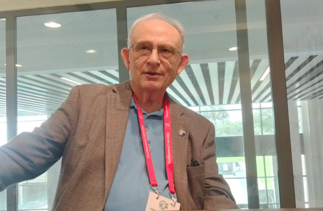
KT Press interviewed Dr, Jack A. Kaye, the NASA Associate Director for Research (Earth Science Division) who was in Kigali this October to present at the World Climate Research Programme-Open Science Conference (WCRP-OSC) the latest data collected, plans of the agency to enable other leverage the power of data and science at the in addressing climate related challenges.
QN: What is NASA doing to address these challenges raised at the WCRP especially insufficient data to inform research work?
NASA is engaged in Global activities of collecting data around the world and one of the things the agency has done for the last so many years is openly sharing data and making it as usual as possible and to as many people as possible.
The space agency vantage point is a particular opportunity to look at parts of the world that may otherwise be hard to observe- in many cases because of the lack of, say surface space measurement capabilities.
So we can look at open oceans, the polar regions, ice sheets areas of high latitude oceans covered by sea ice, forests of high latitude, and tropical; we can look at deserts, urban and rural areas.
To a good degree of approximation that the data is as good anywhere is anywhere else. It’s not quite that simple because say at optical and infrared wavelengths the satellites can’t see through clouds, but microwave (including radar)-based instruments can.
We’re constantly trying to do new things. So, one of the satellites that we launched was the Surface Water and Ocean Topography (SWOT) this past December with a major partnership with France and contributions from Canada and the United Kingdom. It is providing high spatial resolution information about the ocean surface, but also about land surface hydrology (river stage, lake height). So it’s information about the distribution of water across the earth which in many parts of the world we don’t currently have.
One of the next satellites we will be launching between NASA and India with the Indian Space Research Organisation (ISRO) is an Earth-observation satellite, called NISAR (NASA-ISRO Synthetic Aperture Radar), which will be in spring.
And as a radar it can see the surface, through clouds and will provide information on terrestrial vegetation, the thickness of ice (including glaciers and ice sheets); as well as provide us with information and science that can help us better understand hazards related to earthquakes, volcanoes, landslides, and flooding.
This is a major thing that we will be doing and I think it represents the value of international partnerships because collectively we can be able to accomplish something. It would be very difficult for either of us to do on our own and work to make the data as useful and as quickly as possible to as many people as possible.
We hope to continue this in the future. A substantial fleet of satellites and space-borne instrument flies now and there are additional ones we are working on. One future one (MAIA – Multi-Angle Imager for Aerosols) is focused on aerosols- to understand the relation between fine particles suspended in the air that contribute to a lot of health issues especially for people with asthma, emphysema, pulmonary diseases, and to combine the satellite data with information that we get – on the ground to understand the local air quality and you can do in a sense has to what’s the relationship between the way aerosols contribute, the distribution and what that means.
We are developing a next big series of satellites that are going to the Earth System Observatory. One satellite will study the changes related to distribution of mass on the Earth- which are really related to changes in distribution of water, whether liquid and ice- which are major changes related to climate change as well as human activity (e.g., ground-water withdrawal for irrigation). .
We will be looking at a mission called Surface Biology and Geology to really look at how biology, vegetation, land surface, or high spatial and temporal resolution and biology that takes place both on land and at the surface of the ocean is really important for the whole food chain.
And then there is the Atmospheric Observing System to look at and study a lot of elements of the atmosphere including clouds and precipitation that will help us understand the terrestrial water cycle.
We also have some surface space networks, airborne campaigns; one focused on biodiversity is running now in South Africa; earlier this year we had one flying over Gabon (based in Sao Tome) complementing observations made by the European Space Agency and its partners both recently and in a past campaign in Africa.
QN: What are you specifically doing for Africa as a continent?
One of the areas that we do have a significant focus in Africa is to really work on data utilization we have a program called SERVIR. That’s run by not my part of the program, but another one (run through our Earth Action program) but it’s still within the Earth Science Division.
It’s designed to really provide ways of helping to engage people in the countries with their set of political, academic, industrial and governmental partners to get more experienced and learning how to use that data because a lot of the material that we produce its it was never there before. So, people need time to learn and in some cases they need to know how to download, how to work with the tools, to understand what tools are.
So with the SERVIR program which it started in Panama, now there’s a variety of hubs in Asia, Latin American, and Africa.
NASA has what it takes to collect real time data from the atmosphere that can be helpful to countries.
Those are some of the things that we’ll do particularly for Africa. There’s a variety of kinds of studies that we’ve done that were interested in deforestation, a lot of that in desertification. Those are things that are taking place in Africa and just a variety of studies that will do a lot of biomass burning in Africa.
So, just a whole bunch of things that we will do and take advantage of the satellites, the global view, field work programs like SERVIR designed to help to make people better able to use the data through our local partners.
QN: What are you doing to improve capacity building in research and training as one of the issues raised at the 2023 WRCP-OSC meeting?
We have a variety of Programs ourselves like the Applied Remote Sensing Training (ARSET) for education and training and so, some things we will do and some things we work through agencies like under the world climate research program has doing this meaning here- their core projects of other than do a variety of training.
So we will support some of them and then we’ll work with other organizations- The Committee on Earth Observation Satellites. It’s an international group and they have a capacity building program and we’re very much engaged with that because it doesn’t necessarily make sense for each agency to try to do its own thing.
NASA has what it takes to collect real time data from the atmosphere that can be helpful to countries.
So sometimes we’ll try to work together because, say for the user end, if they can sort of find out about all the satellites all at once instead of NASA saying well, here’s what we’re doing and the Europeans saying here is what we are doing. So we can try to make it easier for people to be able to learn about things. So, there’s a variety of things like that that we do through those organizations as well.
QN: Does NASA have a commitment to share data that is very much needed by others?
We make the data available, but in parts of the world, they’re limited with storage and/or band width. So if we say it’s on our computers here and if you want to download it, well, if somebody doesn’t have a reliable and fast internet connection he or she is not going to be able to do that.
So we work to create tools to help people do that whether it’s to store data in the cloud so that principle one can work with the data in the cloud but not have to move the data.
So we invest quite a bit in data systems and because we have for long had this open data, now we’re going to something beyond that- to the next step we call the ‘Open Science’ or ‘Open Source Science’ to bring people into the picture earlier, so that it is not like when we’re done with something will give you the answer but they give people the opportunity to engage earlier.
Something else that that we also think about and now that in some cases if we can do things in a way that we can say get information directly to somebody smart phone; we can do that but there are other steps that go into that, but we will work with partners all over the world to try to do things so that people can get actionable information.
Just saying data is available, isn’t enough. So it’s that kind of the engagement that we have with our partners – whether it’s the other agencies. WMO (World Meteorological Organisation), National governments, nongovernmental organizations, private sector entities, to get data as useful as possible because we want data to be useful and make people live a better life.